Traveling more than an hour to go fly fishing often requires some planning. Weather and water levels are the two most important variables to understand before heading out. Everyone has their favorite weather apps, but this year more than ever, having a good understanding of water levels has been non-negotiable.
All water level data originates from the United States Geological Survey (USGS) Surface-Water Data, which monitors over 13,000 stream gauges across the U.S. and more than 350 in Pennsylvania. The USGS has been transitioning to a new online interface over the past five-plus years. The updated look and feel have left some old features behind while adding new ones. I hate it.
So, I’ve been on the hunt for a desktop and mobile app that delivers USGS backend data through a clean, easy-to-use interface. Blue Liner Flows offers a solid solution for iPhone, iPad and Mac users, with apps built for both platforms. Most importantly, favorites and preferences sync across devices. There’s a free version, but I’ll be reviewing the $6.99 annual paid version.
Key features include: favorites, state selection, map view, latest data overview, discharge in CFS, discharge in feet, average annual discharge, various time views, weather forecasts, alerts, temperatures (station-dependent), turbidity (station-dependent), and other data specific to each gauge.
I found the app very easy to set up on my Mac. Once configured, all my favorites and alerts synced automatically to my iPhone. You don’t need both devices—an iPhone alone works just fine. I especially liked navigating between the state, favorites, and map views. It’s fast and intuitive. Most views display the key information I’m looking for, including directional arrows indicating whether water levels are rising or falling.
I originally had plans to fish in Lancaster county with Salmonoid but stream conditions were poor on that side of the susky so I headed west to York county in search of better water.
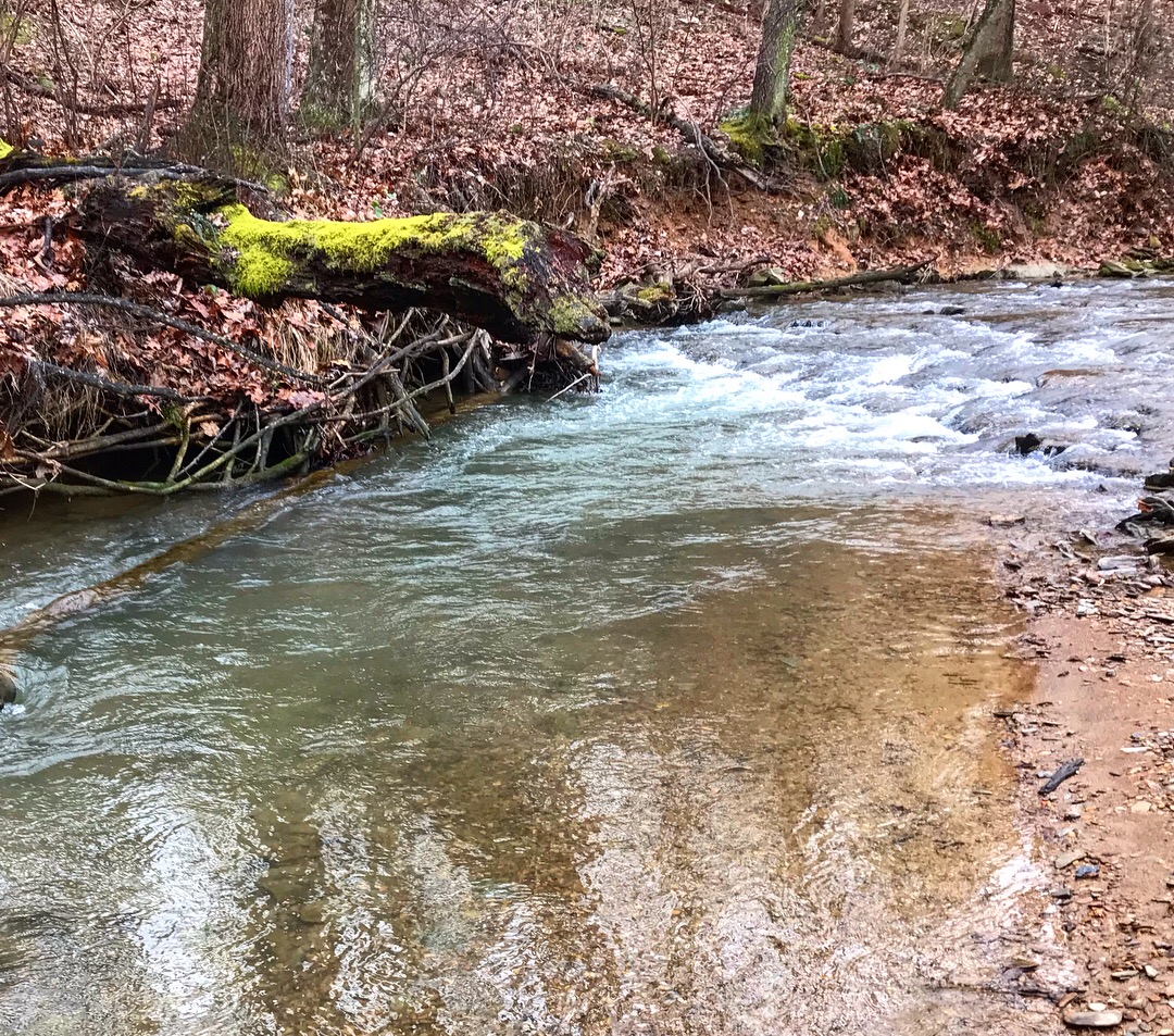
I decided to try the headwaters of an ATW that I hadn’t fished in 2 years. I was a little worried about the massive flooding the area received and how it might have affected the wild trout and stream habitat.
I am pleased to say that things are looking better now than before the flood with old holes retained and several new holes created.
The water was fantastic and the fishing was even better. Enjoy the pictures!
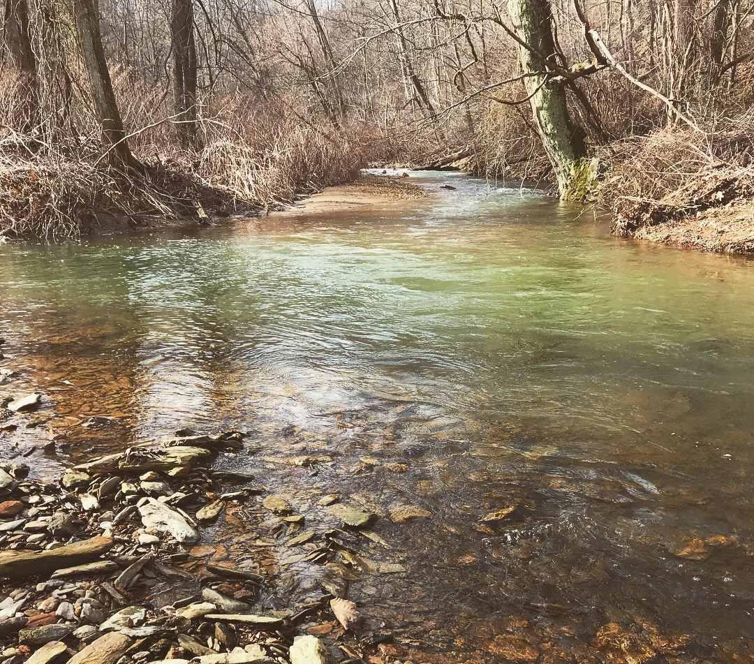
Green water and fast
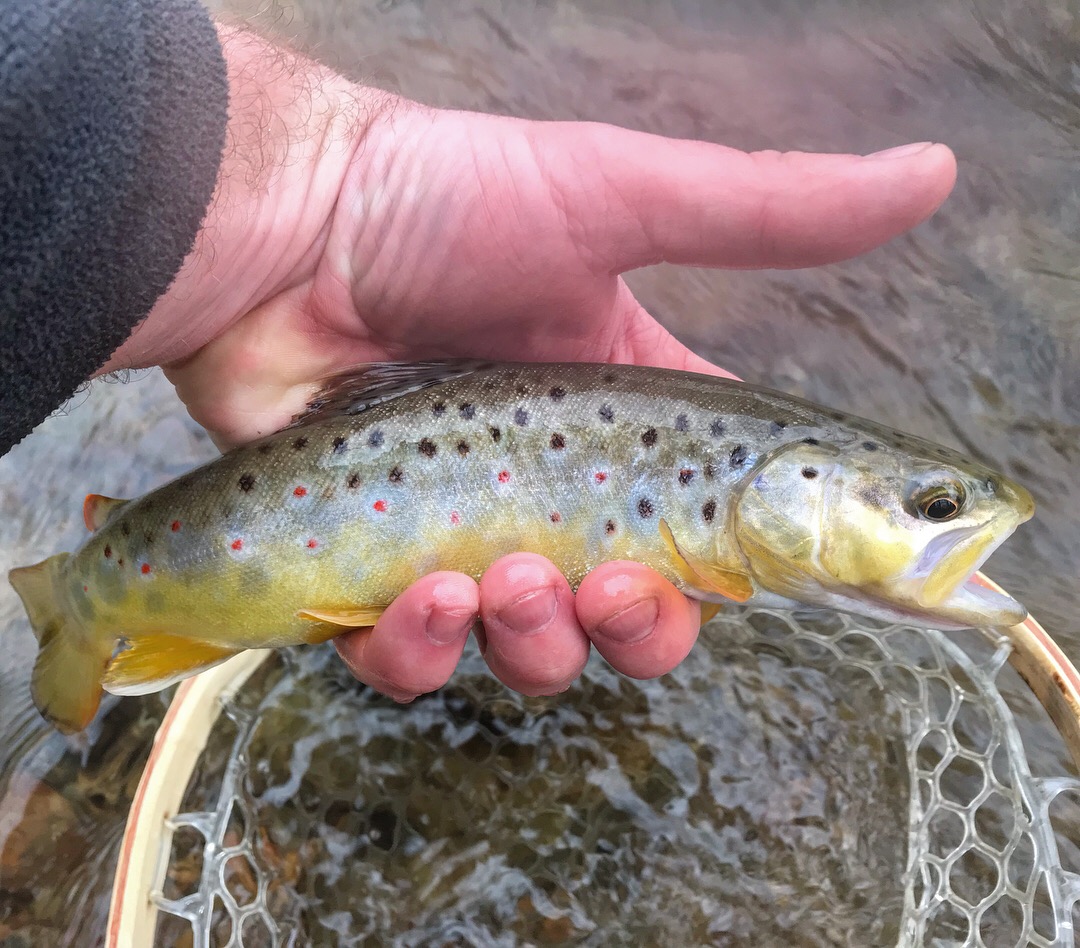
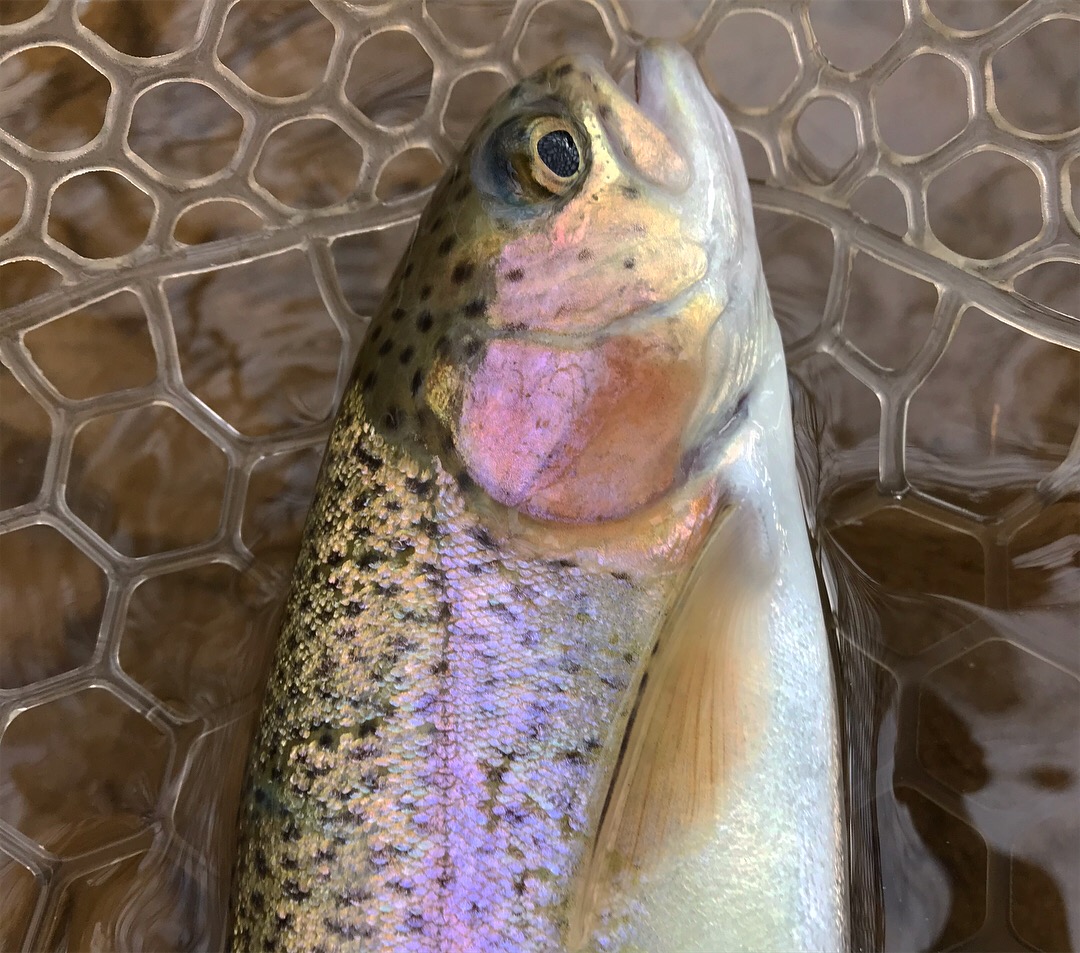
First trout of the new year
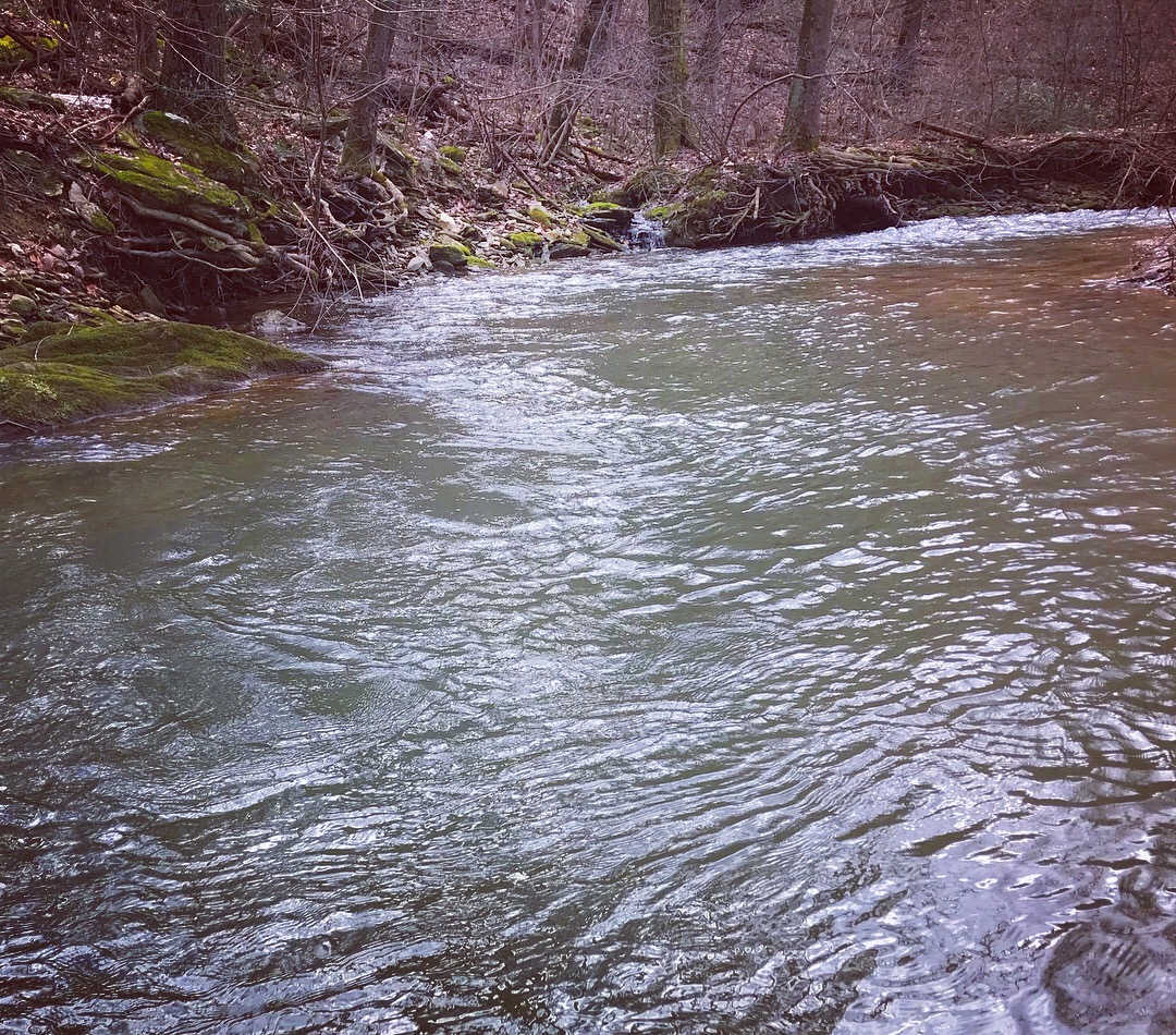
Headwaters
Wild
Decisions
How did that sneak in?
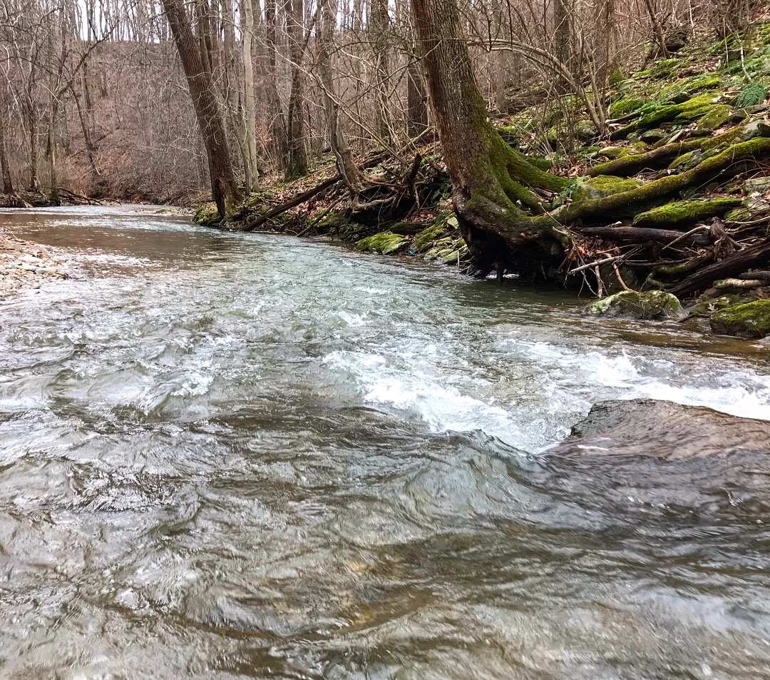
More great water
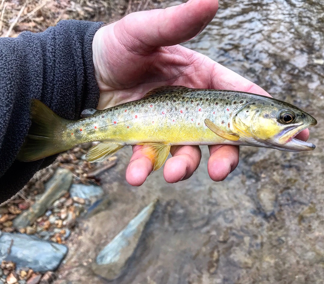
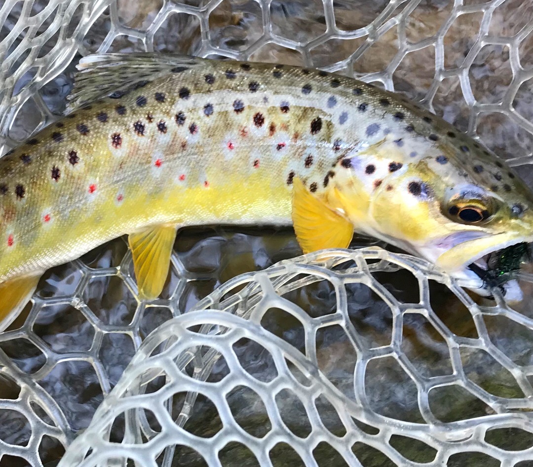
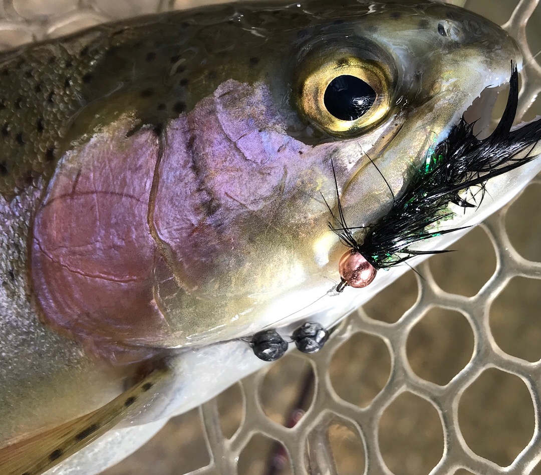
And one more great wild brown trout
Fly of choice #6 black crystal flash wooly bugger all beat up
Follow along and comment on HopBack's post in the forum here.